-
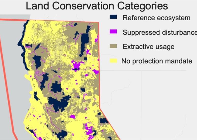
Satellite observations provide insight into post-wildfire forest recovery
Using satellite observations to evaluate forest recovery following a wildfire could be an innovative, cost-efficient way to assess the effectiveness of land management practices, according to research published earlier this year.
- Data
-

Shedding light on the source of solar storms
Scientists at the U.S. National Science Foundation National Center for Atmospheric Research (NSF NCAR) are developing COSMO to address the need for more advance warning of CMEs heading towards our planet. The ground-based solar observatory would transform humanity’s fundamental understanding of the formation of solar eruptions and other space weather that can affect technologies – and therefore the lives and livelihoods of people – on Earth.
- Sun + Space Weather
-
NSF NCAR C-130 flying low over the New York City area starting today
From July 16 through August 31, a C-130 research aircraft will periodically fly over the tri-state area to collect data about air quality.
- Air Quality
-
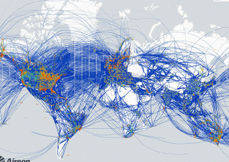
Steering clear of turbulence
A prototype turbulence detection system is designed to guide aircraft worldwide from areas of rough air.
- Weather
-
Jothiram Vivekanandan named honorary fellow of the Indian Meteorological Society
An expert in polarimetric, dual-wavelength, and phased array radar technologies, Vivekanandan has collaborated extensively with Indian scientists to advance understanding of monsoon precipitation.
- Organization,
- Weather