-
UCAR announces 2023 Next Generation Fellows Cohort
The 2023 cohort includes Abdulamid Fakoya, diversity, equity and inclusion fellow; Kate DeMarsh, policy fellow; and Esther Oyedele, science fellow.
- Organization
-
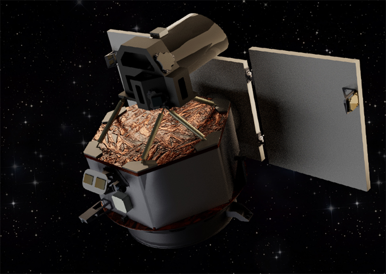
Shining light on a solar blindspot
A proposal for a spacecraft that would take a fresh look at the Sun — enabling a never-before-seen view of our star’s magnetic field — has received $2 million in funding from NASA for further study.
- Sun + Space Weather
-
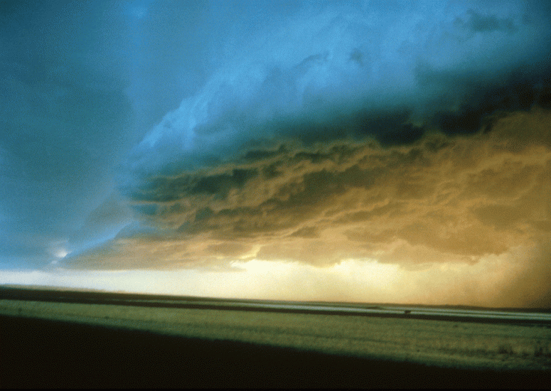
Damaging thunderstorm winds increasing in central U.S.
Destructive winds that flow out of thunderstorms in the central United States are becoming far more widespread with warming temperatures.
- Weather
-
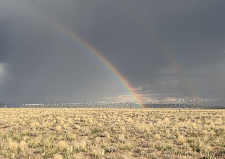
When it comes to collecting data, nothing stops NCAR scientific teams
The reappearance of a dormant lake was only the first challenge faced by an Earth Observing Laboratory field study. Researchers persevered to relocate the project and collect data that may lead to more accurate forecasting of severe weather events like tornadoes.
- Weather
-
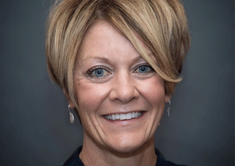
Alisha Swofford named new UCAR Chief Operating Officer
Swofford will oversee UCAR Operations, supporting and enabling the scientific missions of NCAR and UCAR Community Programs.
- Organization