-
“An extraordinary success”
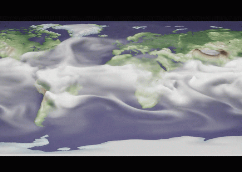
Before its retirement last month, the Cheyenne supercomputer helped advance knowledge into virtually every aspect of Earth system science.
- Supercomputing
-

Northern tropical Africa not the significant carbon source satellite data suggests
The forests and grasslands of northern tropical Africa take in about as much carbon dioxide in the wet season as they release in the dry season, according to a new study based on observations from aircraft. The findings contradict earlier research that relied on satellite data and found that these ecosystems may be adding significantly more carbon to the atmosphere than they absorb over the course of a year.
- Air Quality,
- Climate
-
2023 year in review
The research coming out of the U.S. National Science Foundation National Center for Atmospheric Research (NSF NCAR) in 2023 ranged from fascinating to impactful. From La Niñas and El Niños to supercomputers named after wind and the impacts of literal wind, here are the highlights of NSF NCAR’s top science stories from the past year.
- Sun + Space Weather,
- Supercomputing,
- Water,
- Weather
-
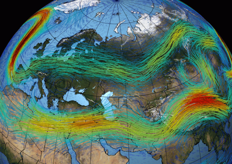
Jet stream winds will accelerate with warming climate
Fast jet stream winds will accelerate by mid century as the planet warms.
- Climate
-
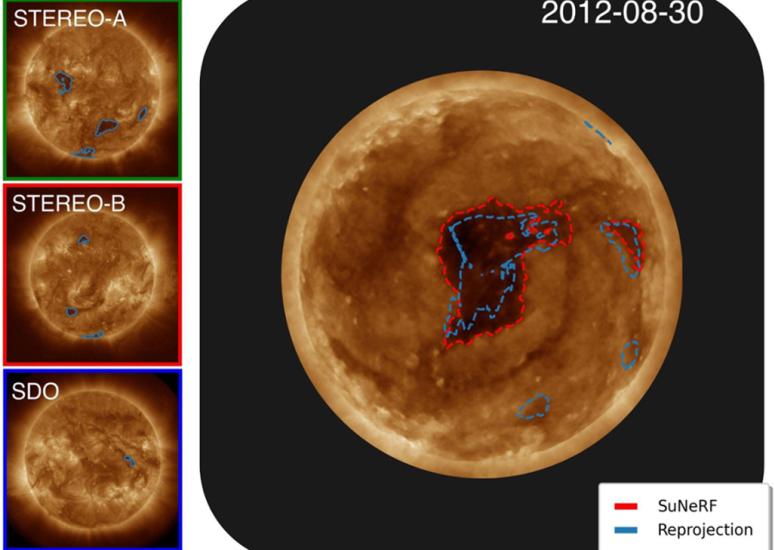
Virtual observatory provides first “look” at the solar poles
Scientists are turning to artificial intelligence (AI) to view the Sun’s poles — or at least produce an educated guess of what the Sun’s poles might look like, since they’ve never been observed before.
- Sun + Space Weather