-

Study shows Tijuana River water pollutes the air
Newly published research indicates that poor water quality can drastically affect air quality—an observation with important implications for global waterways.
- Air Quality
-

New modeling capability to reveal secret life of water
Scientists at Rice and NSF NCAR will track water’s unique fingerprints to better understand Earth's climate.
- Climate,
- Water
-
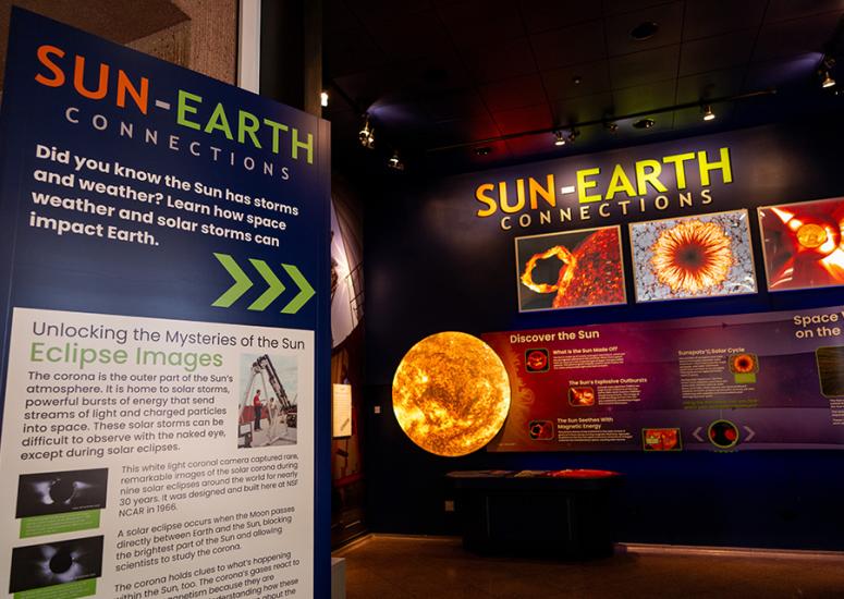
Newly opened exhibit illuminates the connections between Sun and Earth
Newly revitalized Sun-Earth Connections exhibit at the NSF NCAR Mesa Lab feels like stepping into space itself.
- Education + Outreach
-
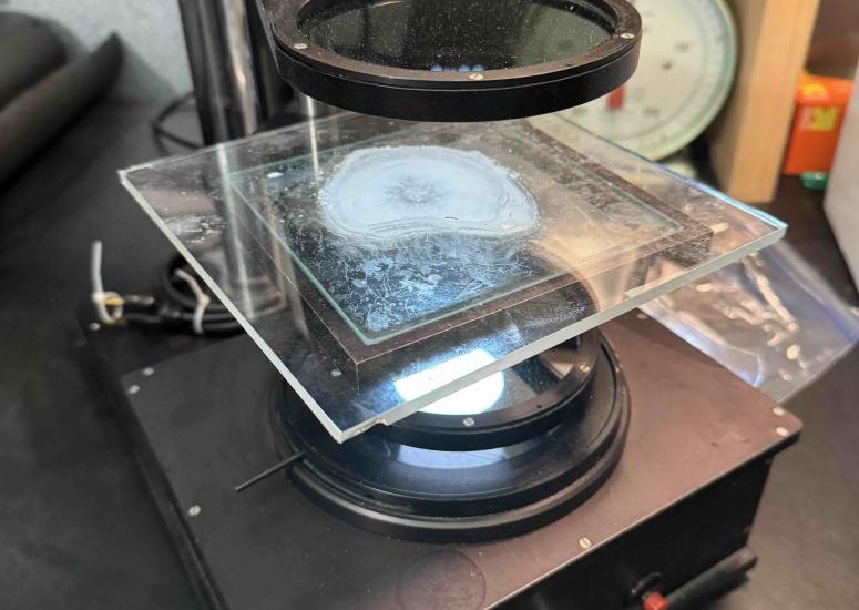
Understanding the lifecycle of a hailstone
The In-situ Collaborative Experiment for the Collection of Hail In the Plains (ICECHIP) field campaign was the first major U.S. hail field campaign in over 40 years. Over 10,000 hailstones were collected, a selection of which are now being analyzed at the U.S. National Science Foundation National Center for Atmospheric Research (NSF NCAR).
- Weather
-
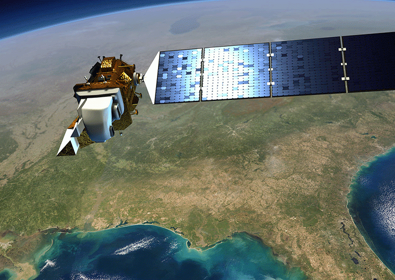
As the atmosphere changes, so will its response to geomagnetic storms
Rising concentrations of carbon dioxide in the upper atmosphere will change how geomagnetic storms impact Earth in ways that have implications for thousands of orbiting satellites.
- Sun + Space Weather